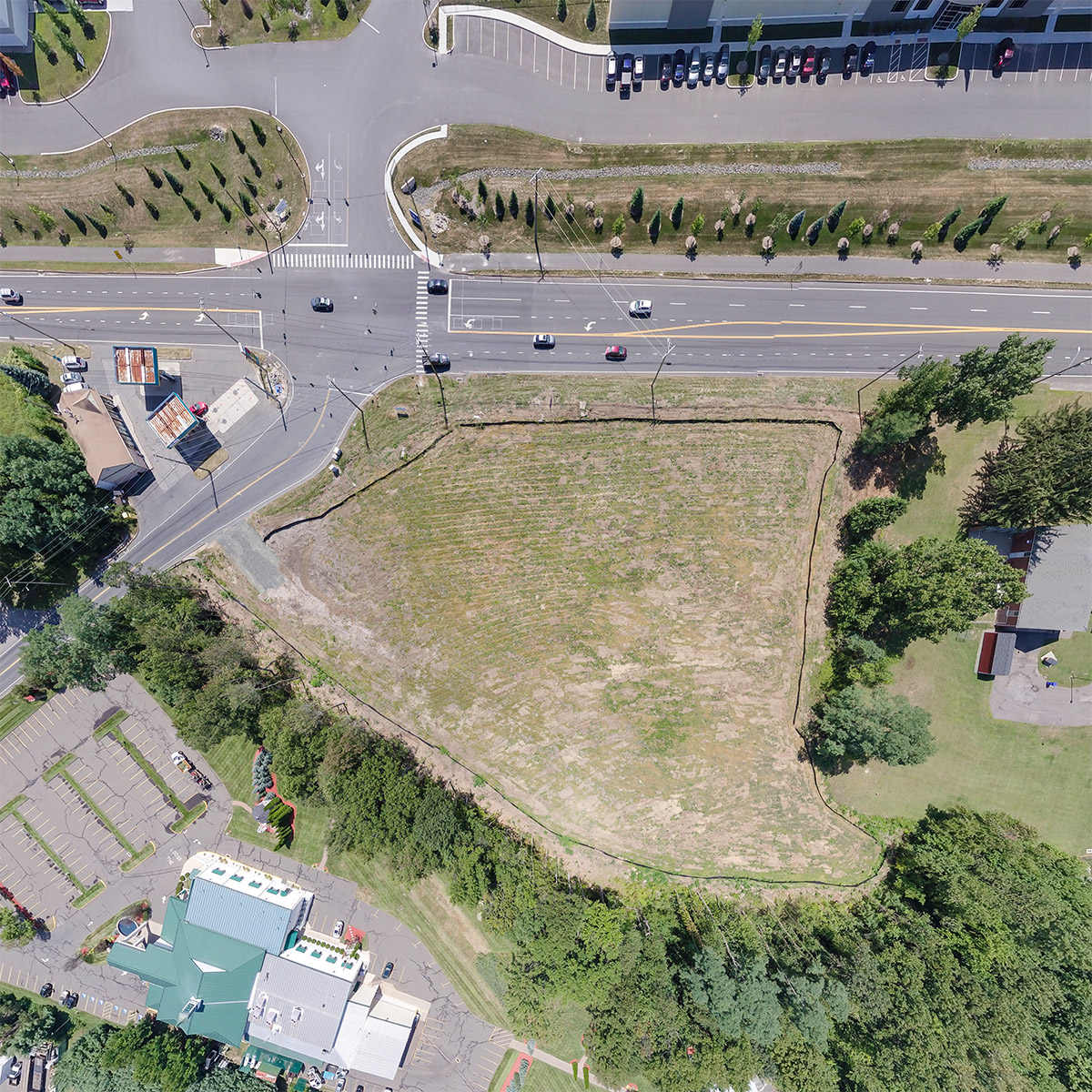
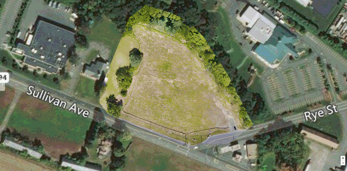
Prime Lot for Development
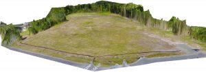
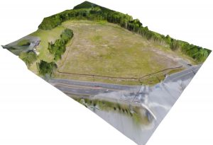
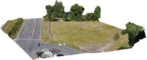
West Mass Drone Image Samples
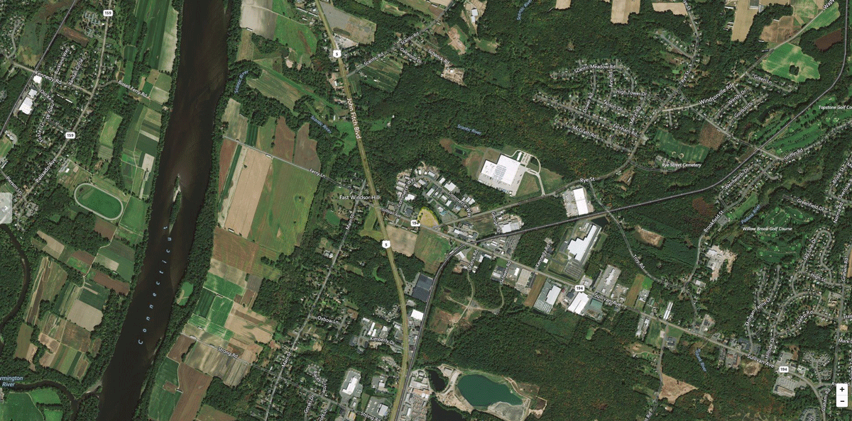
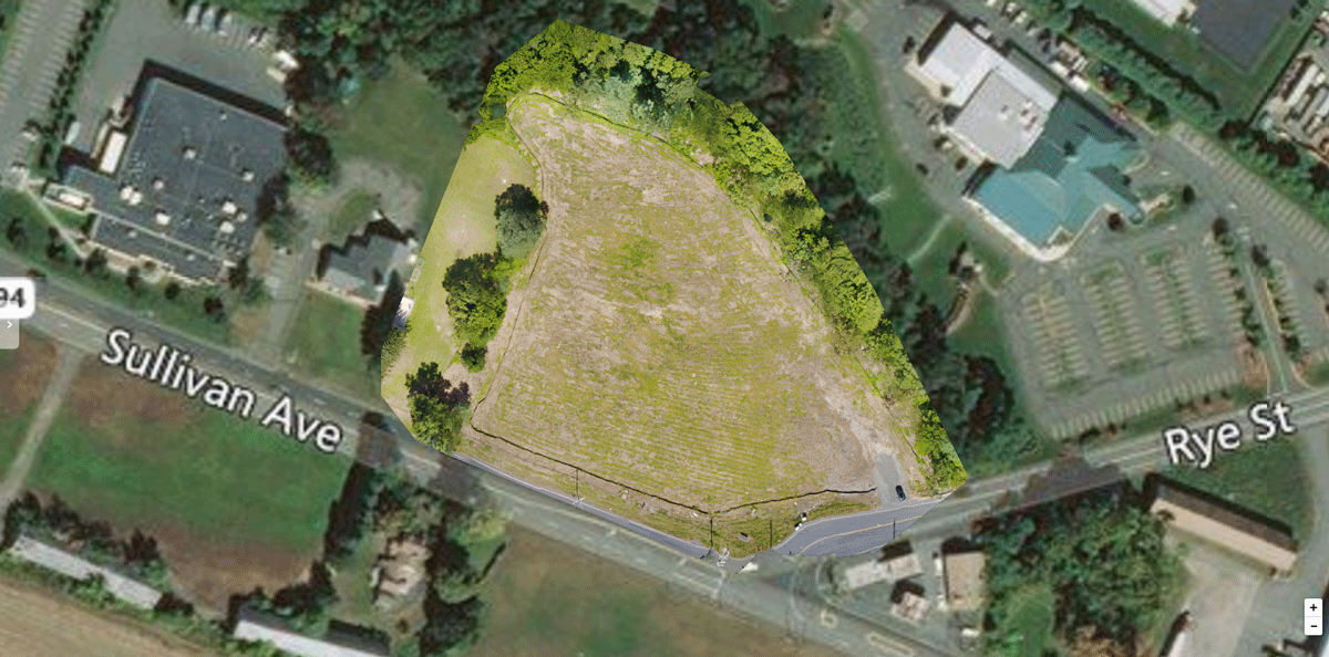
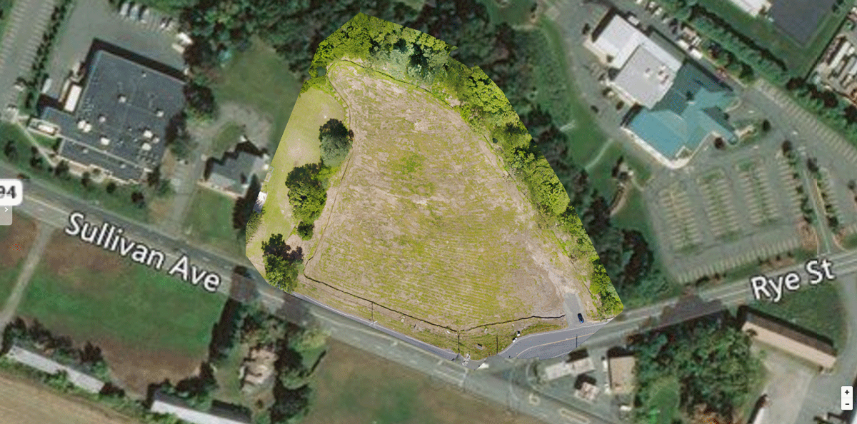
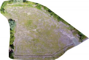
Hi Resolution Image – Map Zoom – 360 Interactive Panoramas – Area Calculations – Heightmap – 3D Renderings – Vegetation Indices
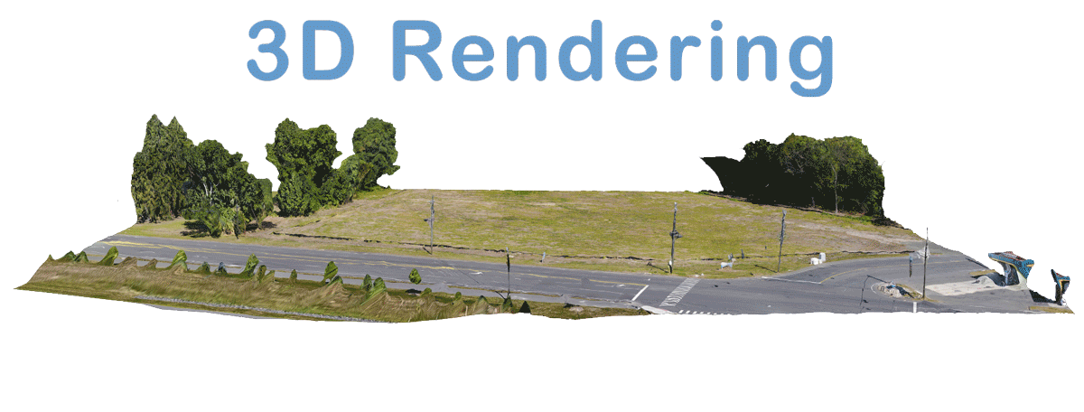
Hi Resolution Image – Map Zoom – 3D Renderings – Area Calculations – Heightmap – Vegetation Indices – 360 Interactive Panoramas
Hi Resolution Image – Map Zoom – 360 Interactive Panoramas – Area Calculations – Heightmap – 3D Renderings – Vegetation Indices
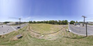
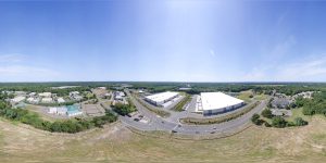
360 Degree Interactive Panoramas
Click an Image to View in 360 Interactive Mode
Hi Resolution Image – Map Zoom – 360 Interactive Panoramas – Area Calculations – Heightmap – 3D Renderings – Vegetation Indices
Hi Resolution Image – Map Zoom – 360 Interactive Panoramas – Area Calculations – Heightmap – 3D Renderings – Vegetation Indices
Hi Resolution Image – Map Zoom – 360 Interactive Panoramas – Area Calculations – Heightmap – 3D Renderings – Vegetation Indices
Hi Resolution Image – Map Zoom – 360 Interactive Panoramas – Area Calculations – Heightmap – 3D Renderings – Vegetation Indices
Hi Resolution Image – Map Zoom – 360 Interactive Panoramas – Area Calculations – Heightmap – 3D Renderings – Vegetation Indices
Images Copyright 2017 West Mass Drone – All Rights Reserved