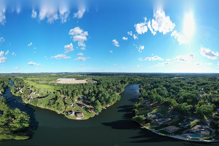
Explore in Google Maps: To book Drone Services or High Resolution Prints please contact us!
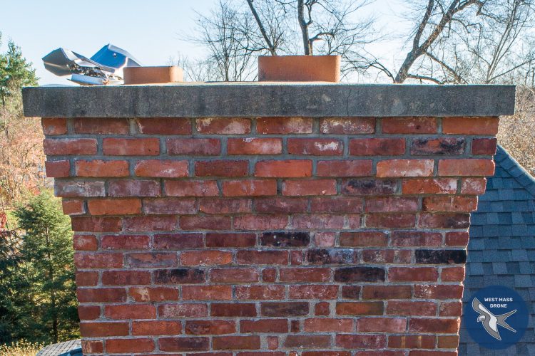
Chimney Inspection: A homeowner, concerned following a high dollar storm damage repair estimate, hired us to do a visual inspection on the chimney for visible structural damage. We provided high resolution imagery to help the homeowner to make an informed decision and facilitated clearer communication with possible repair contractors. This visual inspection saved the homeowner […]
I just acquired a Nikon Z6 II and started shooting away. Imagine my disappointment when Photoshop and Lightroom would not open the NEF RAW files! Fortunately I found a workaround that is quick and easy. All you need to do is edit the EXIF metadata and change the camera from a Z6 II image to […]
West Mass Drone combines aerial photography, videography, interior photography, and virtual tours to give properties broad exposure in the listing and across all media platforms. Rural Property The listing video shows a combination of media. This version is MLS compliant, with branding removed. The virtual tour allows clients to safely explore a home at their […]
We’ve added our own personal weather station for up to the minute hyper-local weather! powered by Ambient Weather
We had the pleasure of shooting this 38′ analemma recently for a client out in the Berkshires. This project included imagery, image processing, and delivery of an printable representation with calibrated grid overlay. If you have an interest in analemmas and would like to connect with our client, please use the contact us form to […]
At West Mass Drone we have more than 20 years of advanced imaging expertise. This includes processing client submitted pictures to give them a more professional look. In the past typically a client may occasionally provide us a couple seasonal images, before pictures, or images of a space before it was cluttered to process along […]


Recent Comments